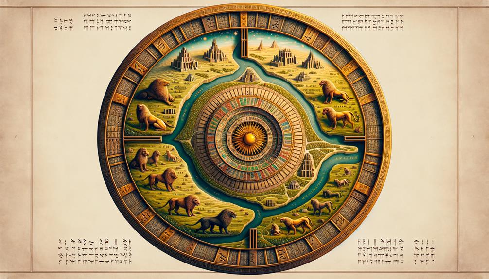
Have you ever heard about the Babylonian Map of the World? It’s a pretty cool piece of history that was found in Sippar and now has a home in the British Museum. This map really takes you into the minds of the ancient Babylonians, showing us their understanding of the world and the cosmos.
The Babylonians had quite the imagination. Their map is circular, with Babylon smack dab in the middle and a big ocean around it. It’s a clear indication of how they saw the universe – a bit like how we see earth from space. What’s even more interesting is that there are also eight triangular regions beyond the water. It’s like their own version of a ‘here be dragons’ warning.
The symbols and cursive script, known as cuneiform, scattered across the map are a treat to decipher. They’re a blend of fact and fiction, like a fantasy novel mixed with a history book. It’s incredible to think that there’s so much information packed into this ancient piece of artwork. I can’t wait to see what else we learn from it.
Discovery and Description of the Tablet
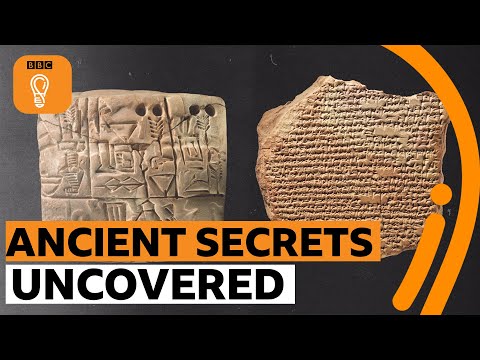
So, here’s the scoop. This clay tablet, known as the Babylonian Map of the World, was dug up in Sippar and it goes all the way back to the 6th century BC. Pretty cool, right? This isn’t your typical map either. The Babylonians had a special way of seeing the world.
For them, everything revolved around the Euphrates river and their city, Babylon. This clay map, which now resides in the British Museum, gives us an exclusive glimpse into how they saw their world. It’s like a time machine that shows us their understanding of geography and their religious beliefs.
We can see Babylon and its neighboring regions on the tablet, all neatly tucked within a circular river that they believed was bitter. For them, this river was emblematic of the ocean, a representation that was quite common back then.
But that’s not all. The map also features eight triangular sections circling the ocean, each believed to represent far-off lands. This layout gives us a crystal-clear picture of how they thought about geography and the world at large. So, in a nutshell, this tablet is a priceless artifact that lets us peek into the minds and perceptions of the ancient Babylonians.
Detailed Analysis of the Map
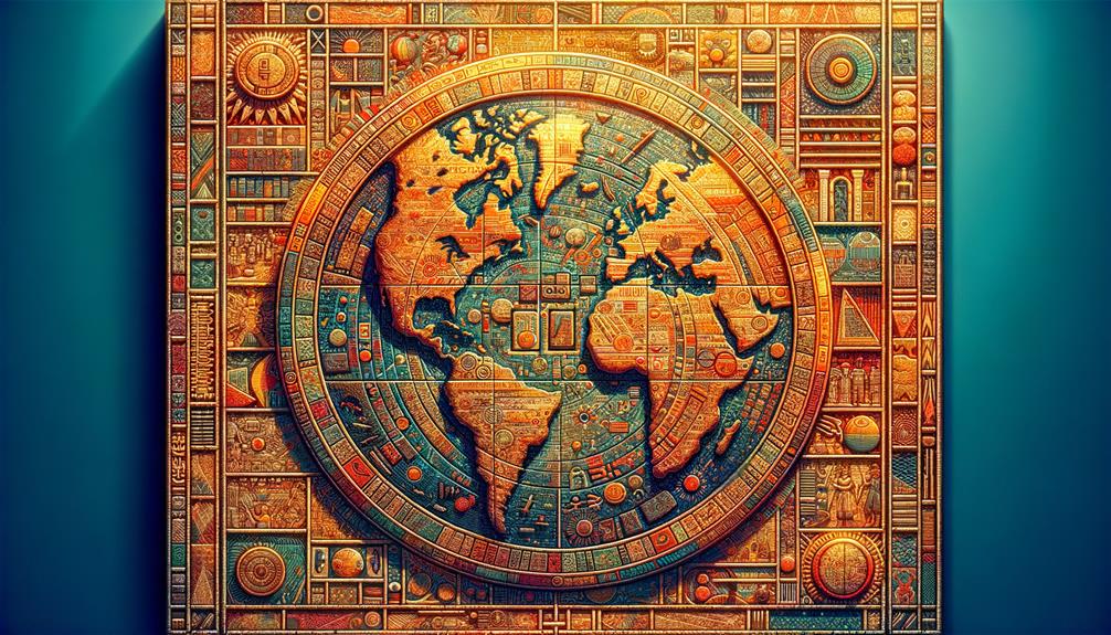
Let’s get up close and personal with the Babylonian Map of the World. This map is a work of art, precision, and deep knowledge, with the Euphrates river and Babylon stealing the spotlight.
- The map, shaped like a circle, beautifully illustrates Mesopotamia, placing Babylon at its heart. Nearby regions such as Assyria, Elam, and Urartu are also featured on the map, identified by cuneiform inscriptions.
- The map shows a massive circular ocean encircling the land, reflecting the Babylonians’ ancient world-view.
- Eight triangular shapes sit beyond this ocean. Scholars are still trying to figure out what these might represent.
- The cuneiform inscriptions scattered across the map give us a peek into how the Babylonians perceived their world and what lay beyond their known lands.
This map is more than just a geographical guide. It’s a window into the Babylonian mindset, a mix of their geographical understanding and ancient myths, offering a one-of-a-kind peek into their blend of reality and spiritual beliefs.
Insights From Accompanying Texts
When you dive into the writings that accompany the Babylonian Map of the World, you uncover a treasure trove of information. The way they interpreted their symbols reveals the richness of their cosmology and cultural beliefs, seen through their map-making skills. But there’s more: the writings also acted as an early way to spread knowledge about geography and storytelling, weaving together facts and myths in a complex presentation of how they saw the world.
Interpretation of Babylonian Symbols
After a deep dive into the inscriptions and symbols imprinted on the Babylonian Map of the World, I’ve got some cool insights to share about the cosmological beliefs and geographical knowledge of the ancient Babylonians. Here’s the scoop:
- The symbol of the circular bitter river is like a boundary, enclosing regions like Assyria, Bit-Yakin, Habban, and Urartu. It’s kind of like their version of ‘here be dragons.’
- As for the eight triangular regions beyond this river, they might stand for areas that were remote or uncharted in their eyes.
- They also threw in mythical creatures and figures such as Ut-Napishtim. This shows how they mixed real-world geography with myth.
- Lastly, the Babylonians saw the world as a disc surrounded by water, and this belief is clearly reflected in their symbols.
These findings really highlight the rich detail and depth found in Babylonian symbolic representation. It’s like a window into their world, showing us how they saw their universe.
Geographic Knowledge Dissemination
When you take a good look at the Babylonian Map of the World, it’s pretty clear that the ancient Babylonians were pros at sharing their knowledge about geography. You can see this from the detailed descriptions and labels on both sides of the tablet. The text that comes with the tablet, which you can find above and even on the back, gives us some really cool insights into how the Babylonians understood the world around them.
The tablet also gives us a peek into areas beyond the round map, like Susa down south, and all those triangular sections that stand for territories outside their direct control. The careful way every place on the round map is labelled really drives home just how much the Babylonians knew about the world.
What’s also interesting is that it seems like this tablet was put together from three different documents. That just goes to show you how serious the Babylonians were about making sure they got their geographic knowledge out there.
Storytelling Through Ancient Maps
Have you ever wondered about the stories that lie within the ancient Babylonian Map of the World? This old map from Mesopotamia, carved with cuneiform script, isn’t just a guide for wayfarers but also a tool for storytelling that lights up the cultural tales and norms of the period.
- The map mentions places like Assyria and Urartu, providing a geographical backdrop.
- It also talks about imaginary beasts and famous heroes, giving us a peek into the Babylonians’ worldview and religious outlook.
- The inscriptions on the map can be tied back to ancient texts, especially the Epic of Gilgamesh.
- All these components work together to communicate compelling cultural tales.
In short, the Babylonian Map of the World showcases how old maps, aside from helping people find their way, played a crucial role in keeping cultural tales and beliefs alive and well.
Comparative Study With Other Maps
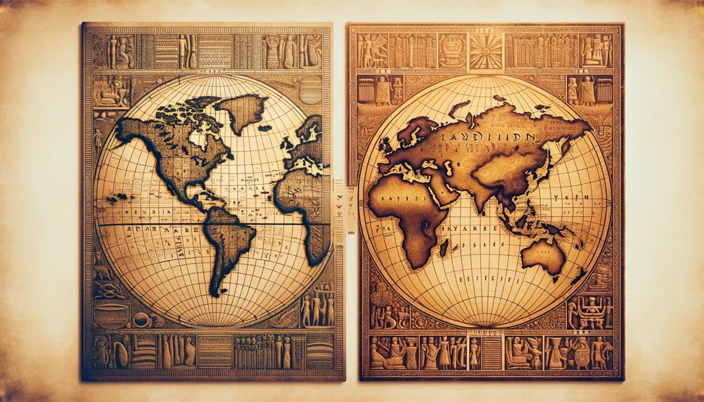
When we put the Babylonian Map of the World side by side with other ancient maps, we can spot some striking differences and similarities. These give us a glimpse into how the Babylonians viewed the world around them, shaped by their geographical surroundings and religious customs.
Their map presents Mesopotamia as a round disk, divided by a central river and surrounded by other areas. This design is quite different from the maps drawn by other civilizations of the same era. It’s clear that the Babylonians’ map was deeply influenced by their surroundings and religious beliefs. They put Babylon smack in the middle, encircled by a ring of water, followed by eight regions, each filled with their mythological stories.
Here’s a quick comparison:
| Babylonian Map | Other Ancient Maps |
|---|---|
| Mesopotamia shown as a circular disk | Different geographical portrayals |
| Central river surrounded by other areas | Different topographical elements |
| Babylon situated in the middle | Various central focal points |
| Eight regions beyond the water ring, each with unique narratives | Various boundary definitions |
It’s undeniable that the Babylonian Map of the World takes us on a unique journey, reflecting the Babylonians’ distinctive understanding of the cosmos.
Interpretations of Babylonian Cosmology
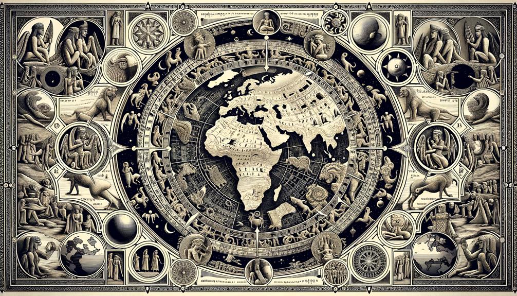
When we look at the Babylonian Map of the World, it’s like peering through a window into the past. It’s more than just an old piece of paper with some lines and symbols on it. It’s a testament to how the Babylonians saw their world and the universe around them. But interpreting this map isn’t as simple as reading a road map. It’s about breaking down and understanding the ancient symbols and stories that it contains. This isn’t just crucial for understanding the map, but for getting a real sense of Babylonian cosmology.
Understanding Babylonian Worldview
When we take a closer look at the Babylonian Map of the World, we don’t just see a simple geographical depiction. Instead, we get a peek into the intricate religious beliefs and cosmology of the ancient Babylonians. The map is centered around the Euphrates River, illustrating a fundamental aspect of the ancient Babylonian perspective.
Here are some interesting points to note:
- The round shape of the map gives us a clue about their understanding of the cosmos.
- The map showcases their ability to mix real and imagined landscapes.
- The prominent placement of the Euphrates River shows its cultural and religious significance.
- The map goes beyond Mesopotamia, suggesting that they were aware of other regions.
To fully grasp the meaning of the map, we need to appreciate its blend of geography and mythology, as well as its reflection of Babylonian cosmology and religious beliefs.
Decoding Ancient Cosmological Symbols
So, what’s the secret to understanding the ancient cosmological symbols on the Babylonian Map of the World? Well, it’s a rich mix of geography, mythology, and religious beliefs. Picture a circular map filled with both real and imaginary places, plus symbols like the bitter river and salt sea. Each of these marks holds a special meaning in the cosmos. The map also includes mythical beasts and heroes, painted in vivid detail that offers a glimpse into the Babylonian outlook on the world. But don’t get too excited just yet. This puzzle isn’t easy to solve. Parts of the map are damaged or missing descriptions, making it tricky to fully interpret the symbols. So, while we can get a pretty good idea of how the Babylonians saw the universe, we don’t have the full picture. This ancient map is more than just a tool for getting around—it’s a captivating glimpse into early cosmology.
Ongoing Research and Findings
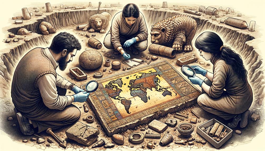
So, what can we expect as we keep digging into the Babylonian Map of the World? Well, our research is nothing short of fascinating and we’re making progress in different areas:
- We’re working on deciphering inscriptions to uncover the many meanings of the map.
- With the help of the latest technology, we’re trying to understand its spiritual importance and how it mirrors old Mesopotamian beliefs.
- With the combined efforts of historians and archaeologists, we’re making sense of the cultural and geographical relevance of this relic.
- The map provides insights into the ancients’ impressive knowledge of astronomy and map-making.
Sure, our work has its hurdles; not all inscriptions are readable and some references are vague, requiring careful interpretation. But we’re committed to digging out every secret this unique piece of history has.
Just remember, we’re not just decoding an artifact; we’re decoding a civilization, an era. Every piece of knowledge we gain gives us a better understanding of our own history. So, stay tuned for more exciting revelations!
Frequently Asked Questions
Where Is Babylon in the World Map?
If you’re looking at a contemporary world map, you’ll find Babylon snug in modern-day Iraq, right near the Euphrates River. But don’t forget, things have changed a lot since ancient times. This city’s location and cultural relevance were quite different back then.
Why Did the Babylonians Create a Map of the World?
You might wonder, why did the Babylonians decide to make a map of the world? Well, their reasoning was pretty pragmatic. They wanted to get a better grip on their geographical location and surroundings. But there was also a deeper, spiritual aspect to their map-making. They believed that their map could reflect their religious values and beliefs.
Impressively, the map they created was not just a straight-up geographical representation. It also served as a testament to their advanced cartographic skills. The Babylonians were pioneers in this field, and their map was a testament to their expertise.
Beyond that, this map was also an educational tool. It was a way for them to teach others about their place in the world, both geographically and spiritually. So, the Babylonians’ map was more than just a practical tool, it was a symbol of their culture and knowledge.
What Is the Oldest Surviving Map in the World?
The oldest map that’s still around today isn’t quite like the ones we’re used to. It doesn’t show all the continents we’re familiar with, but it’s still pretty fascinating. This map is etched into a clay tablet that dates back to the 6th century BCE. It was found in a place called Sippar, but these days, you can find it on display in the British Museum.
What Countries Were Part of Babylon?
Did you know that ancient Babylon wasn’t just one place? In fact, it was made up of various regions that are now part of modern-day Iraq. Places like Assyria, Elam, and Urartu were all part of this historic civilization. It’s truly interesting to see how these old territories have shaped the way our world looks and functions today.