
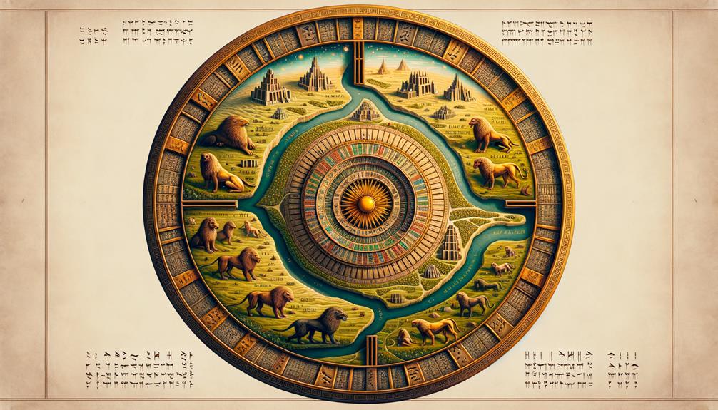
The Babylonian Map of the World is a clay tablet combining a schematic map with cuneiform text. It presents Babylon within an ordered world surrounded by a cosmic body of water. The object is often called the Imago Mundi.
Map and labels
The circular map places the Euphrates, Babylon, Assyria, and several other regions within a ring labeled the Bitter River. Triangular or pointed regions extend beyond the ring. The accompanying text describes distant places and legendary journeys, though parts are broken.
The tablet is usually dated to the late Babylonian period, while its inscription may preserve older geographical ideas. It was found at Sippar and is now in the British Museum.
Purpose and interpretation
This is not a scale map intended for modern navigation. Distances and directions are subordinate to a Babylon-centered picture joining known geography, political importance, and cosmic imagination. Babylon’s central placement expresses cultural viewpoint rather than a claim that ancient surveyors measured it as the geometric center of the planet.
The map is also not the earliest surviving map of any kind. Older local plans and landscape images exist. Its distinction lies in combining a world map, named regions, and explanatory text in one surviving tablet.